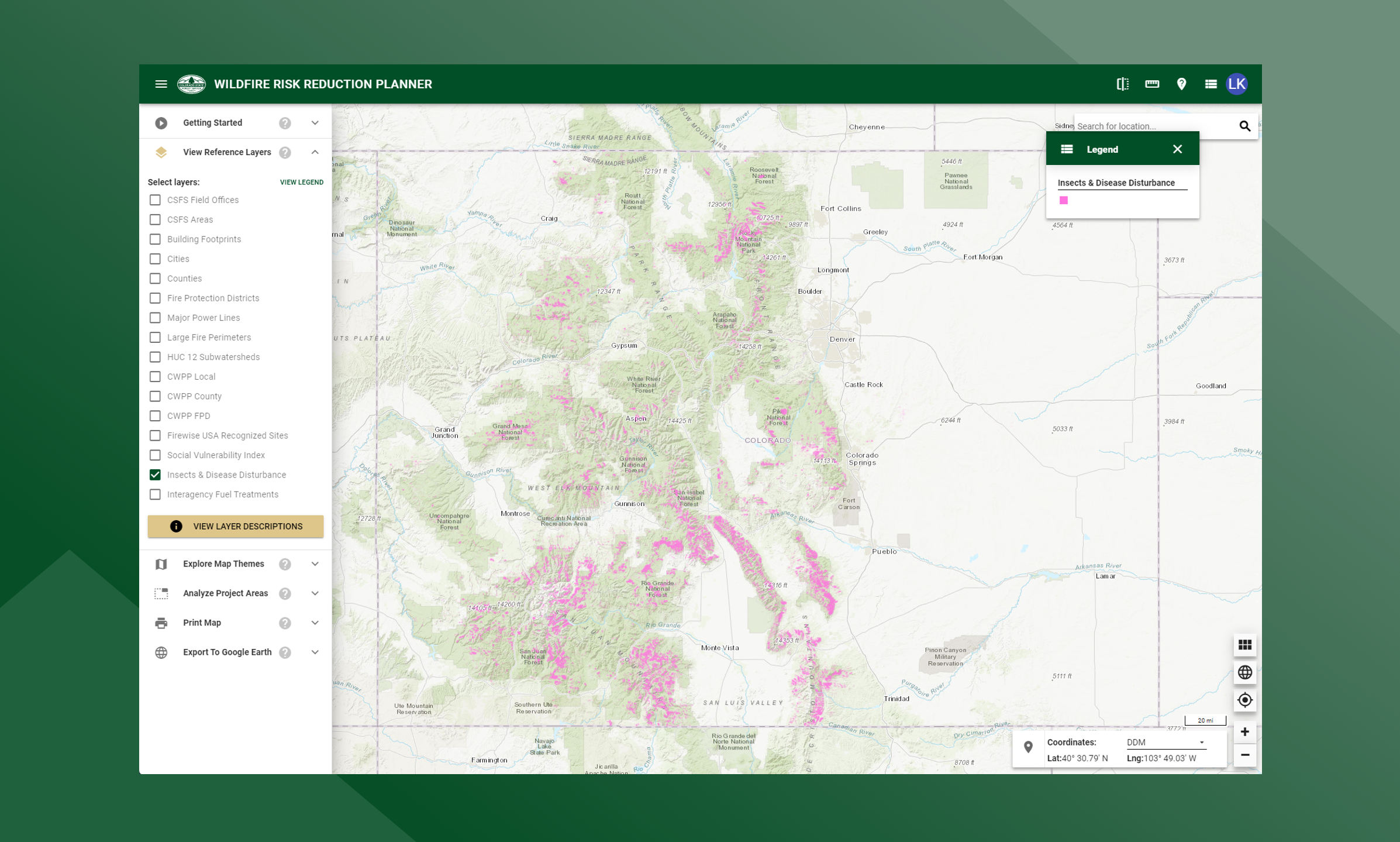
Insects & Disease Disturbance
This layer represents the insect and disease disturbance data used to conduct the fuels calibration project. Most of this data was compiled from the aerial sketch mapping data collected by state and federal agencies and cleaned up by the USFS FHTET program.