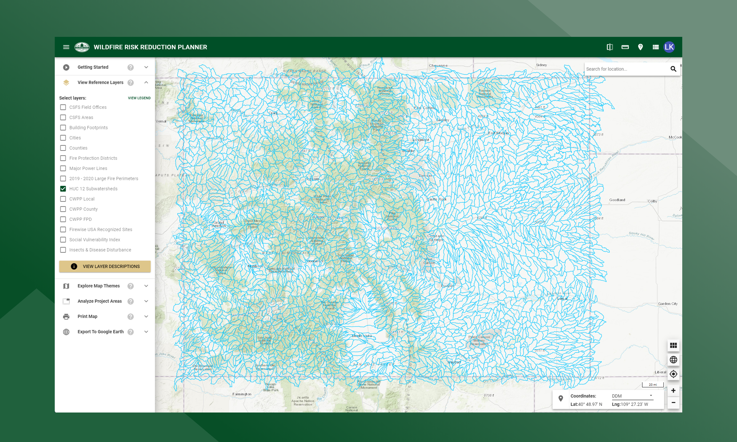
HUC 12 Watersheds
This data layer represents 6th order watershed boundaries. These boundaries are actively used for forest management planning and forest protection mitigation planning. The HUC 12 subwatersheds are also a source for creating Project Areas in the COWRAP Professional Viewer application.
HUC, Hydrologic Unit Code, is a nationally accepted hierarchical watershed classification system developed by the USGS and is based on surface hydrologic features. The data in the 2020 Forest Action Plan were analyzed at the HUC 12 subwatershed level which includes 2nd and 3rd order streams.