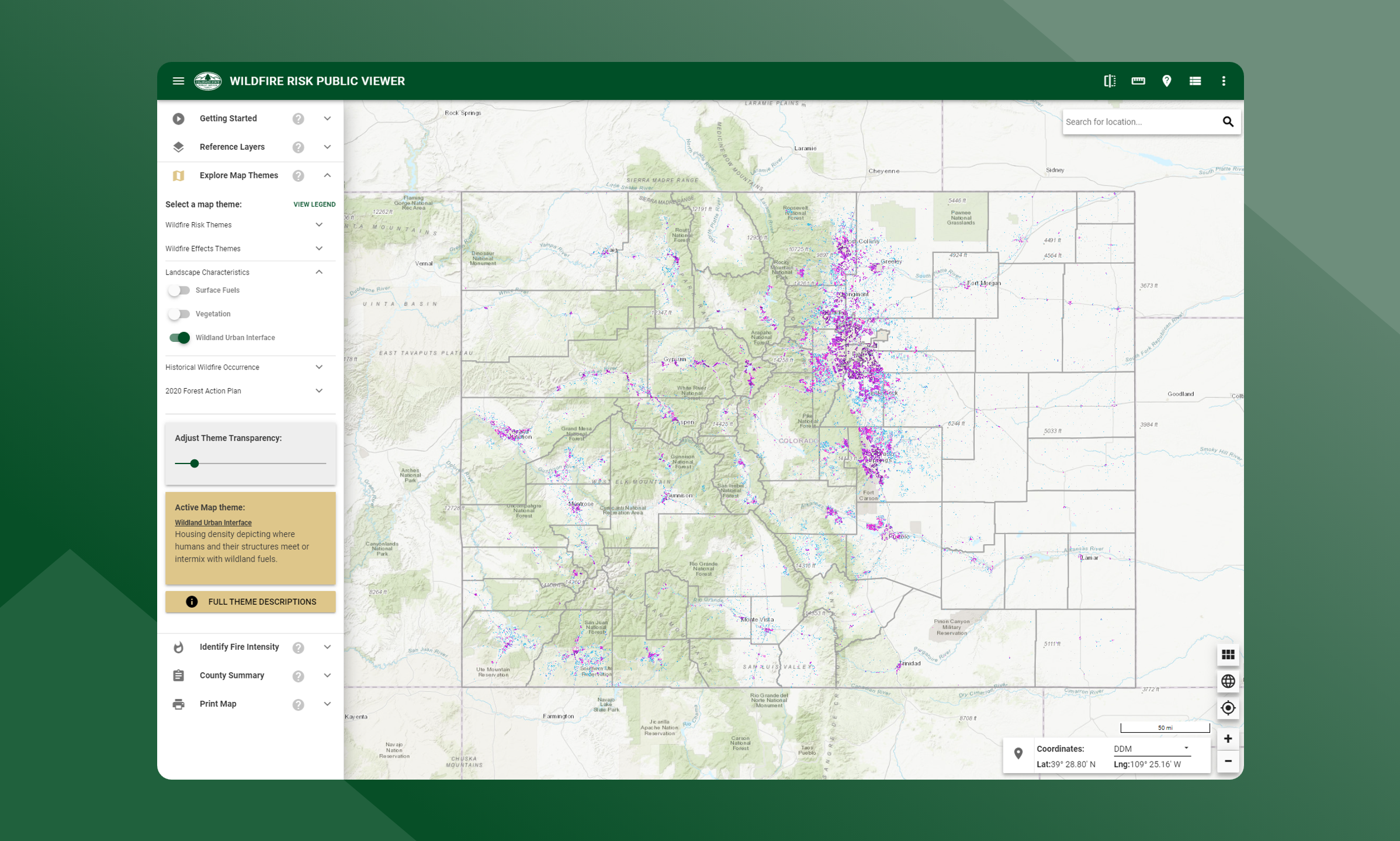
Wildland Urban Interface
Reflects housing density depicting where humans and their structures meet or intermix with wildland fuels.
Colorado is one of the fastest growing states in the Nation, with much of this growth occurring outside urban boundaries. This increase in population across the state will impact counties and communities that are located within the Wildland Urban Interface (WUI). The WUI is described as the area where structures and other human improvements meet and intermingle with undeveloped wildland or vegetative fuels. Population growth within the WUI substantially increases the risk from wildfire.
The Wildland Urban Interface (WUI) layer reflects housing density depicting where humans and their structures meet or intermix with wildland fuels. In the past, conventional wildland-urban interface data sets, such as USFS SILVIS, have been used to reflect these concerns. However, USFS SILVIS and other existing data sources did not provide the level of detail needed by the Colorado State Forest Service and local fire protection agencies, particularly reflecting encroachment into urban core areas.
The new WUI data set is derived using advanced modeling techniques based on the Where People Live (housing density) data set and 2021 LandScan USA population count data available from the Department of Homeland Security, HSIP data. WUI is simply a subset of the Where People Live data set. The primary difference is populated areas surrounded by sufficient non-burnable areas (i.e. interior urban areas) are removed from the Where People Live data set, as these areas are not expected to be directly impacted by a wildfire. Fringe urban areas, i.e. those on the edge of urban areas directly adjacent to burnable fuels are included in the WUI. Advanced encroachment algorithms were used to define these fringe areas.
Data is modeled at a 20-meter grid cell resolution, which is consistent with other CO-WRA layers. The WUI classes are based on the number of houses per acre. Class breaks are based on densities well understood and commonly used for fire protection planning.