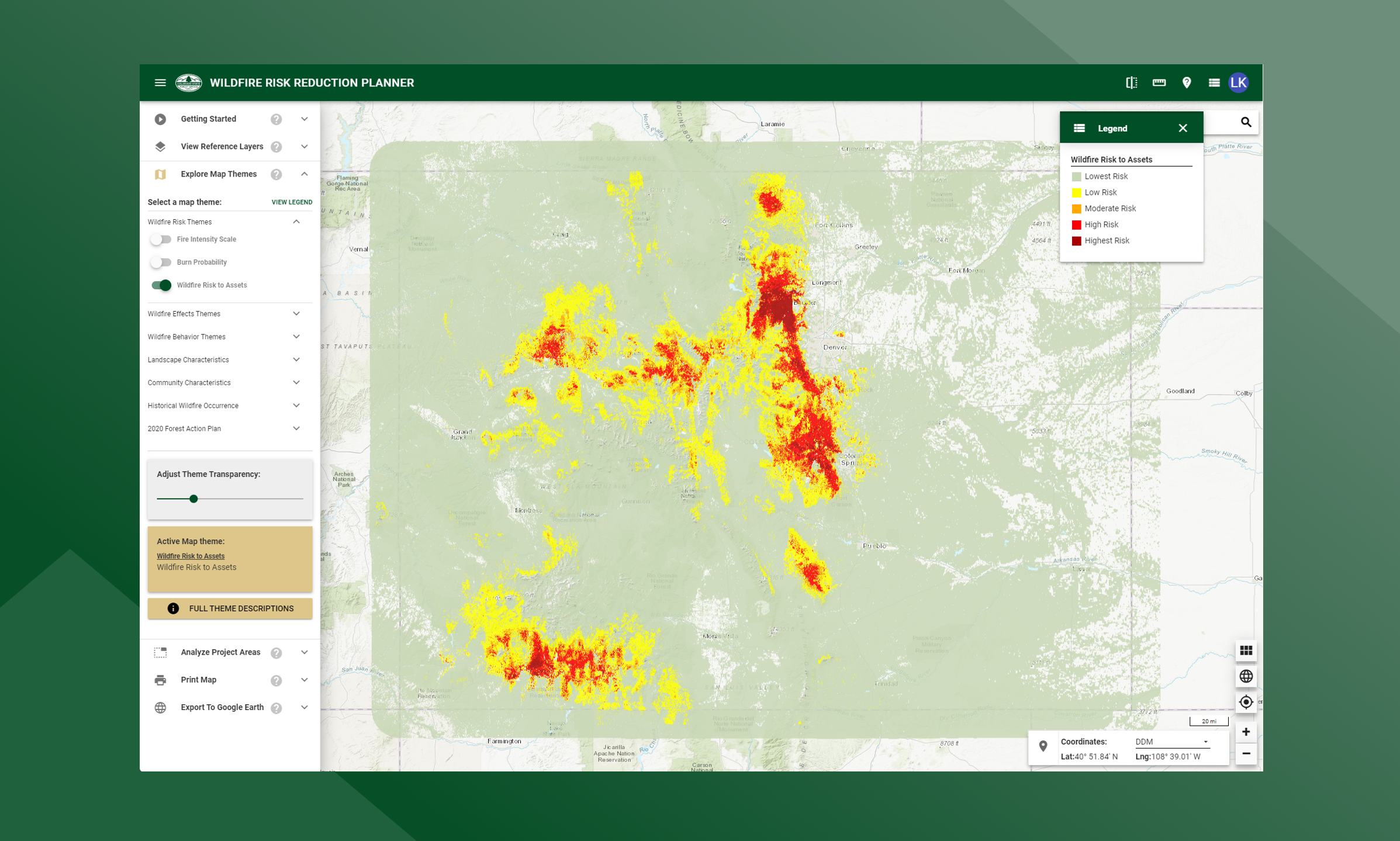
Wildfire Risk to Assets
Wildfire Risk to Assets is a composite risk map created by combining the Values at Risk Rating and the Burn Probability layers.
It identifies areas with the greatest potential impacts from a wildfire – i.e. those areas most at risk when considering the four values layers.
The Values at Risk Rating is a key component of Wildfire Risk to Assets. It is comprised of several individual risk layers including Wildland Urban Interface (housing density), Forest Assets, Riparian Assets and Watershed Protection risk outputs. The WUI component is a key element of the composite risk since it represents where people live in the wildland and urban fringe areas that are susceptible to wildfires and damages. The four individual risk layers are weighted to derive the Values at Risk Rating layer.
The risk map is derived at a 20-meter resolution. This scale of data was chosen to be consistent with the accuracy of the primary surface fuels dataset used in the assessment. While not appropriate for site specific analysis, it is appropriate for regional, county or local planning efforts.