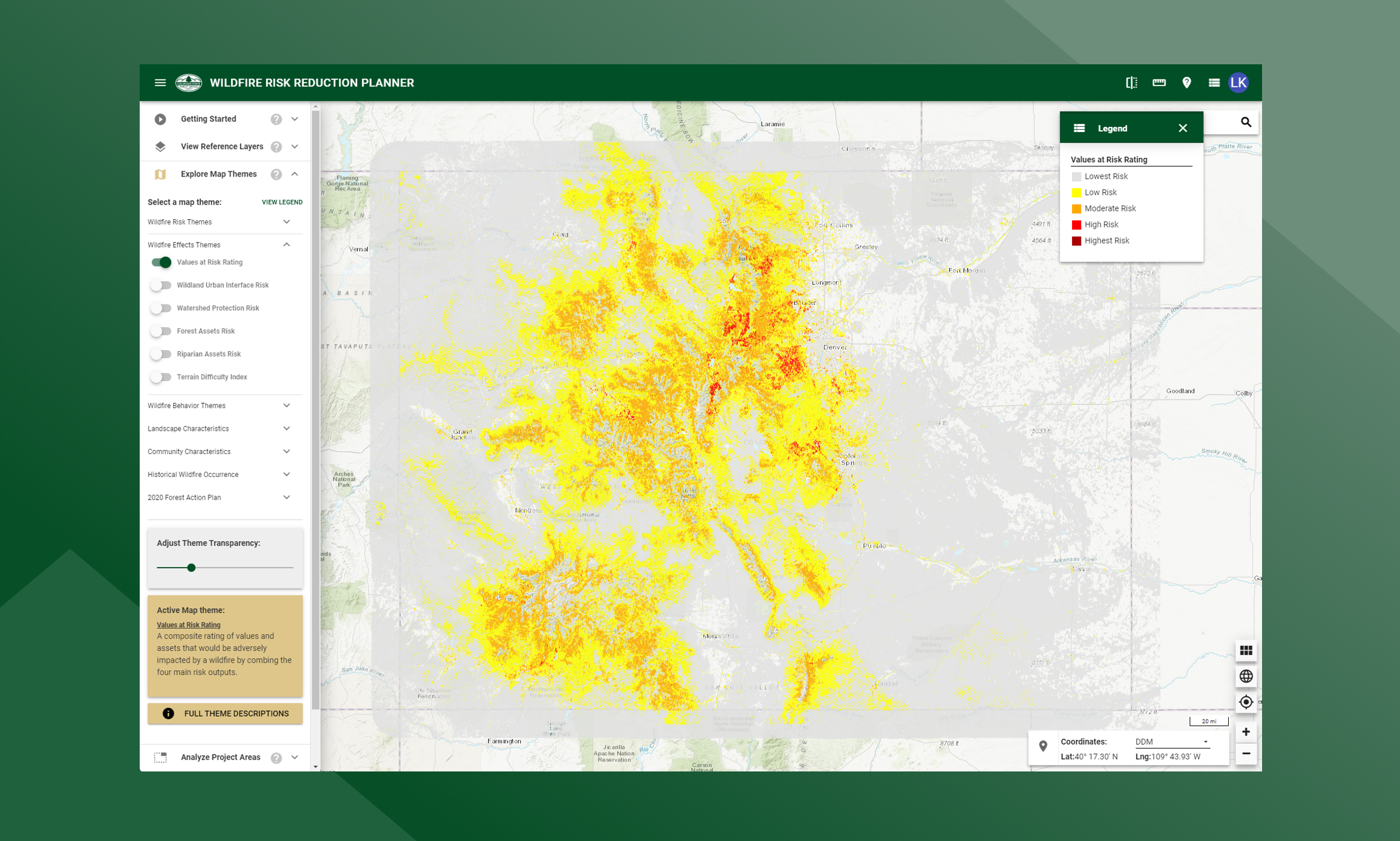
Values at Risk Rating
The Values at Risk Rating (VAR) is an overall rating that combines the risk ratings for Wildland Urban Interface (WUI), Forest Assets, Riparian Assets, and Watershed Protection Areas into a single measure of values-at-risk.
The individual ratings for each value layer were derived using a Response Function approach.
Response functions are a method of assigning a net change in the value to a resource or asset based on susceptibility to fire of different intensity levels. A resource or asset is any of the Fire Effects input layers, such as WUI, or Forest Assets. These net changes can be adverse (negative) or beneficial (positive).
Calculating the VAR at a given location requires spatially defined estimates of the likelihood and intensity of fire integrated with the identified resource value. This interaction is quantified through the use of response functions that estimate expected impacts to resources or assets at the specified fire intensity levels. The measure of fire intensity level used in the Colorado assessment is flame length for a location. Response Function outputs were derived for each input data set and then combined to derive the Values at Risk Rating.
Different weightings are used for each of the input layers with the highest priority placed on protection of people and structures (i.e. WUI). The weightings represent the value associated with those assets. Weightings were developed by a team of experts during the assessment to reflect priorities for fire protection planning in Colorado. Refer to the CO-WRA Final Report for more information about the layer weightings.
Since all areas in Colorado have the VAR calculated consistently, it allows for comparison and ordination of areas across the entire state. The VAR data were derived at a 20-meter resolution.