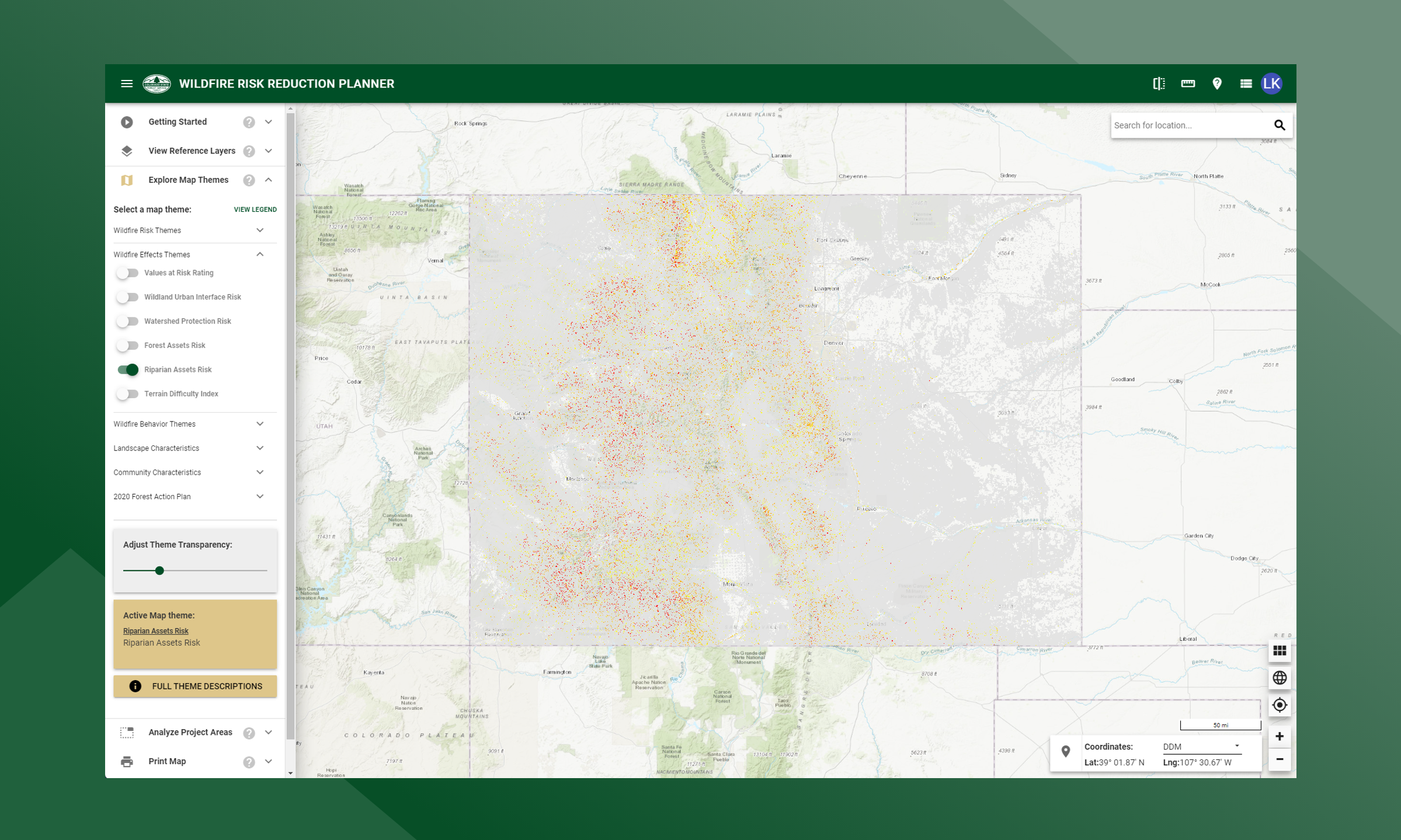
Riparian Assets Risk
A measure of the risk to riparian areas based on the potential negative impacts from wildfire.
The risk index has been calculated by combining the Riparian Assets data with a measure of fire intensity using a Response Function approach. Those areas with the highest negative impact (-9) represent areas with high potential fire intensity and high importance for ecosystem services. Those areas with the lowest negative impact (-1) represent those areas with low potential fire intensity and a low importance for ecosystem services. The response function outputs were combined into 5 qualitative classes.
This risk output is intended to supplement the Watershed Protection Risk Index by identifying wildfire risk within the more detailed riparian areas.