Fire Ignitions (Heat Map)
Fire Ignitions is an ignition density that reflects historical ignition patterns.
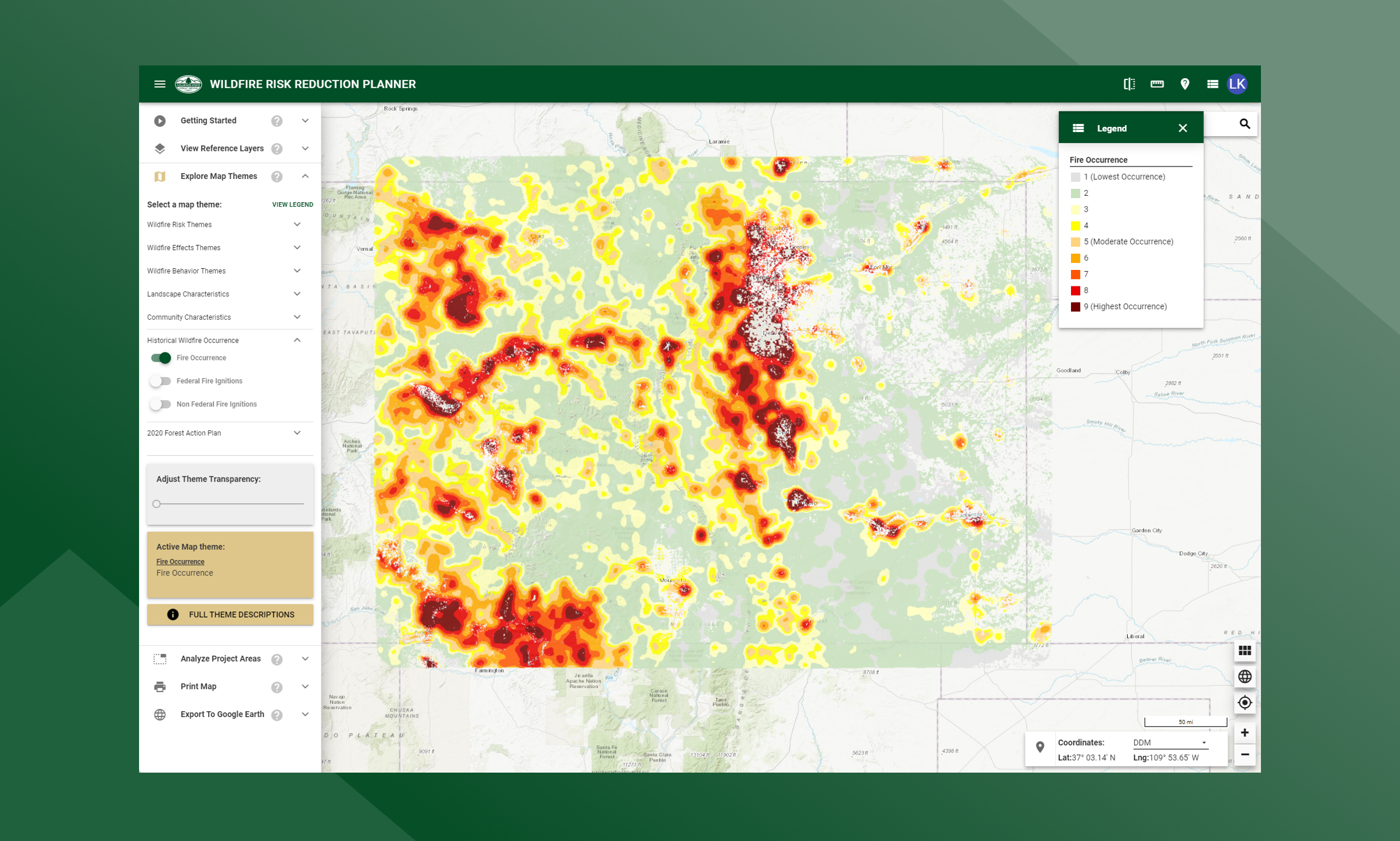
Occurrence is derived by modeling historic wildfire ignition locations to create an ignition density map. Historic fire report data were used to create the ignition points for all Colorado fires. This included both federal and non-federal fire ignition locations.
The class breaks are determined by analyzing the Fire Occurrence output values for the entire state and determining cumulative percent of acres (i.e. Class 9 has the top 1.5% of acres with the highest occurrence rate).
The Fire Occurrence map is derived at a 20-meter resolution. This scale of data was chosen to be consistent with the accuracy of the primary surface fuels dataset used in the assessment. While not sufficient for site specific analysis, it is appropriate for regional, county or local protection mitigation or prevention planning.