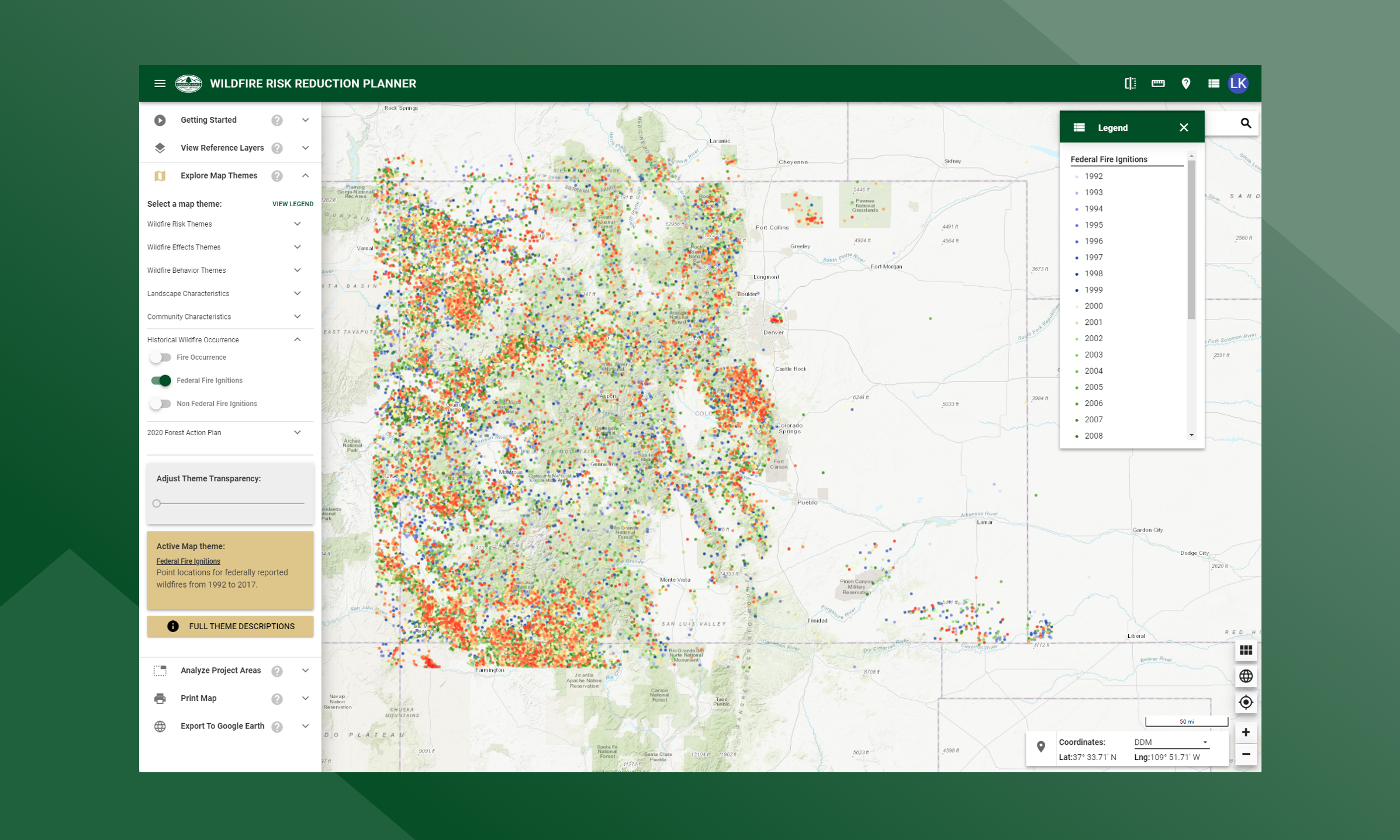
Federal Fire Ignitions
Point locations for all federally reported wildfires from 1992 to 2020.
Fire history statistics provide insight as to the number of fires, acres burned and cause of fires in Colorado. These statistics are useful for prevention planning. They can be used to quantify the level of fire business, determine the time of year most fires typically occur, and develop a fire prevention campaign aimed at reducing a specific fire cause.
Federal wildfire ignitions data for Colorado were compiled for the period 1992-2020. The primary source was the dataset compiled by the USFS Fire Sciences Laboratory (Karen Short). Federal wildfire ignitions are spatially referenced by latitude and longitude coordinates. All ignition references were updated to remove duplicate records and correct inaccurate locations.
Please reference the following publication for more information about the primary source: Short, Karen C., 2017. Spatial wildfire occurrence data for the United States, 1992-2015 [FPA_FOD_20170508]. 4th Edition. Fort Collins, CO: Forest Service Research Data Archive. https://doi.org/10.2737/RDS-2013-0009.4