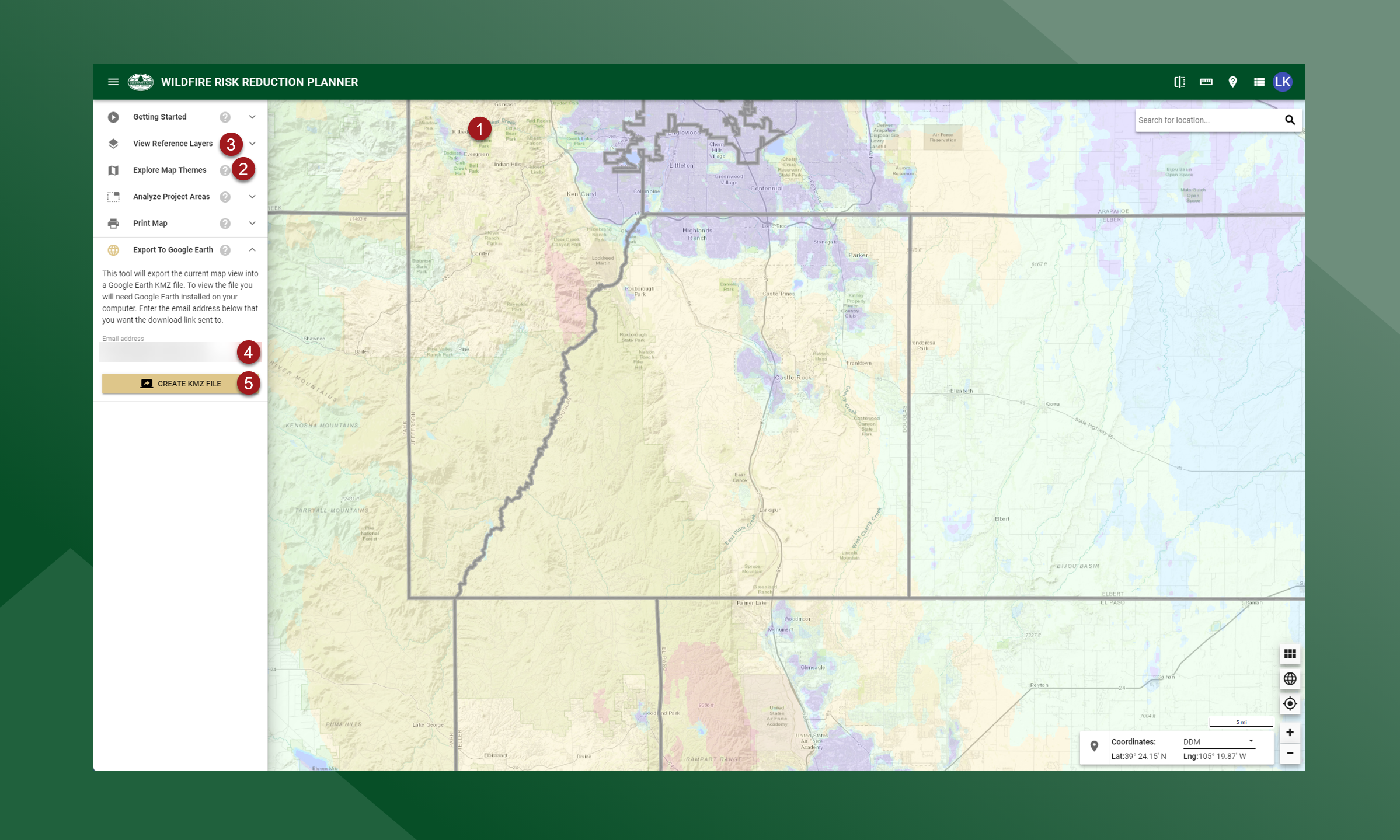
Export to Google Earth
The Export Map to Google Earth tool will create a Google Earth format KMZ file for the map area shown in Wildfire Risk Reduction Planner map. The KMZ file will contain the Map Theme layer that is currently active and some of the reference layers.
The following reference layers will be included if they are being viewed (turned on in the View Reference Layers toolbox) at the time the export request is made.
• Fire Protection Districts
• Firewise USA Recognized Sites
• CWPP FPD
• CWPP County
• CWPP Local
• Fire Perimeters
• HUC 12 Subwatersheds
Layer display symbology is maintained in the KMZ file to match the Wildfire Risk Reduction Planner. Note that the largest area that can be exported to KMZ is 3,100,000 acres. This matches the largest area permitted for the definition of a Project Area.
To create the Google Earth KMZ file follow these steps:
Pan and zoom the Wildfire Risk Reduction Planner map to show the area you want to export to the Google Earth KMZ file. The tool will match the display map extent and create a KMZ clipped to this map extent.
Ensure you have the active Map Theme displayed that you want to export. Only the currently active map theme will be exported.
Ensure you have the Reference layers displayed that you want to export.
Ensure the email address is correct in the Export to Google Earth toolbox. By default, the email address associated with your user account will be shown. You can change this to another email address by simply keying it in.
Press the Create KMZ File button. This will submit a request to the Colorado Forest Atlas to create the KMZ file.
After generating the KMZ file, Colorado Forest Atlas will send an email containing a download link to the email specified in the “Email Address” field. Once you have submitted your request, you can continue to use the Wildfire Risk Reduction Planner or exit the application without interrupting the data export process. You will receive an email notifying you that your KMZ file is ready for download once the export is completed. Creation and delivery times may vary based on the demands on the Colorado Forest Atlas server and the size of the map extent requested for the Export Map to Google Earth. Large areas will take longer than smaller areas.